

Details
Description
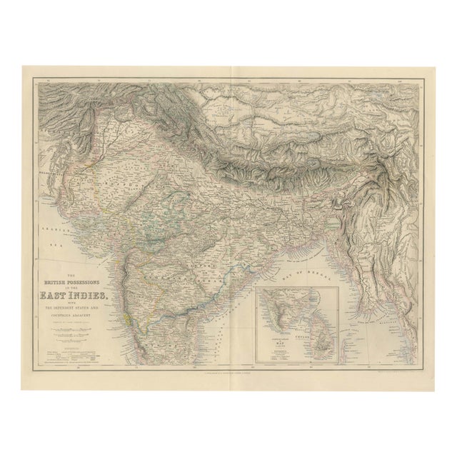
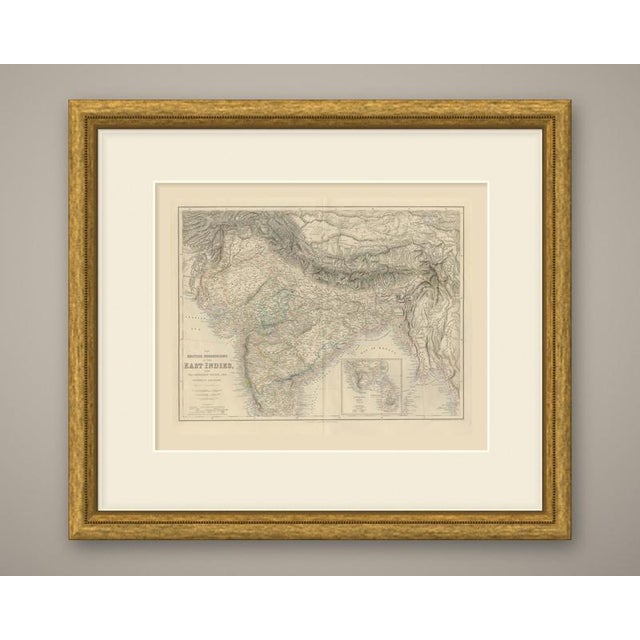
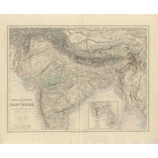
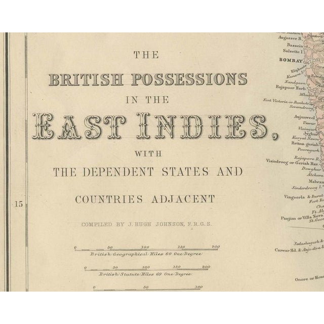
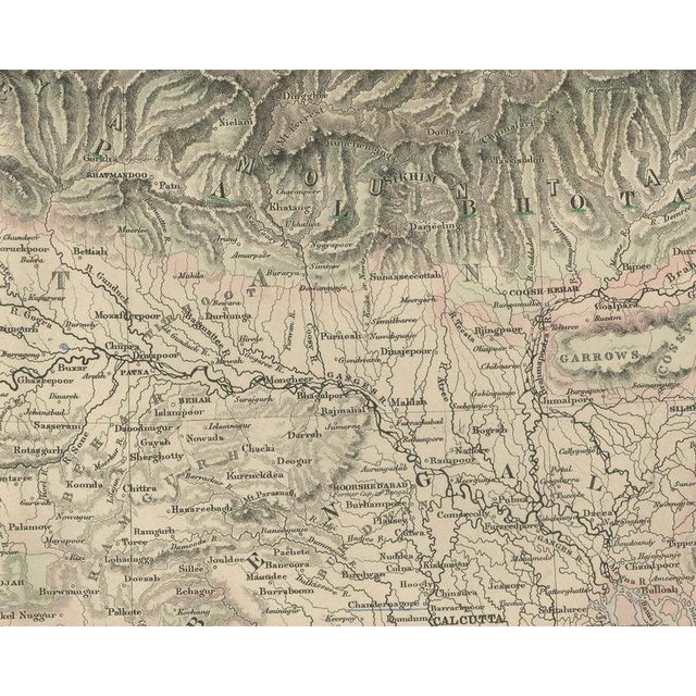
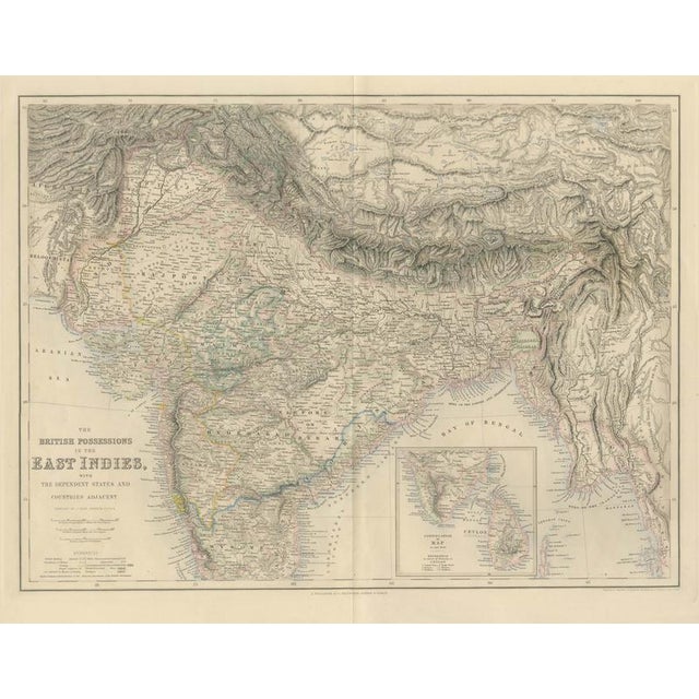
This is an original antique engraved map, colored by hand, from fullarton's companion atlas to the gazetteer of the world. … Read more This is an original antique engraved map, colored by hand, from fullarton's companion atlas to the gazetteer of the world. The title at the lower left reads "the british possessions in the east indies, with the dependent states and countries adjacent". The map runs from afghanistan and beloochistan in the west to pegu, martaban and the mergui archipelago in the east, and from the hindu kush, cashmere and the himalaya in the north to mysore and the malabar and coromandel coasts in the south. A key headed "references" explains the coloring: "british territory coloured", the presidencies of madras and bombay marked by colored lines, bengal described as comprising "all not included in madras & bombay", and "native states protected coloured" and "independent", the latter also underlined, as with "nepal". French possessions are shown as "carrical" and portuguese ones, engraved "portugese", as "damaun". A further line reads "ceylon, under the administration of the colonial department of the british government." three bar scales are captioned "british geographical miles 60 one degree", "british statute miles 69 one degree" and "indian coss 40 one degree". In the lower right an inset titled "continuation of map on same scale" carries the southern tip of india and "ceylon (singhala)", with a "reference to names of provinces in ceylon" listing six provinces. Beneath the title is the credit "compiled by j. Hugh johnson, f.r.g.s." the line below the lower right corner of the border reads "engraved at stanford's geographical establishment, 6 charing cross london." the imprint below the center reads "a. Fullarton & co. Edinburgh, london & dublin." the companion atlas to the gazetteer of the world was published by a. Fullarton and co. Of london, edinburgh and dublin and issued to subscribers in parts. The original printed wrapper of part 7 survives with these maps; it bills forty-three maps, names g. H. Swanston as engraver, and is marked "coloured copy". Pegu, lettered on the eastern shore of the bay of bengal, was annexed by britain in 1852 at the end of the second anglo-burmese war. Condition: light uneven toning, browner toward the edges. A few small foxing spots in the margin. Complete sheet, all four corners present. Original center fold as issued. This is an original antique map, not a modern reproduction. This item is sold unframed. Any framed or interior images are shown for presentation and inspiration only, unless the listing explicitly states that the item is sold framed. See less
- Dimensions
- 23.62ʺW × 18.9ʺH
- Period
- 19th Century
- Country of Origin
- United Kingdom
- Item Type
- Vintage, Antique or Pre-owned
- Materials
- Paper
- Condition
- Good Condition, Unknown, Some Imperfections
- Color
- Gold
- Condition Notes
- Very Good — This vintage item has no defects, but it may show slight traces of use\. Light uneven toning, … moreVery Good — This vintage item has no defects, but it may show slight traces of use\. Light uneven toning, Browner toward the edges, A few small foxing spots in the margin less
Returns & Cancellations
Return Policy - All sales are final 48 hours after delivery, unless otherwise specified in the description of the product.
Cancellation Policy - Prior to shipping or local pickup, buyers may cancel an order for up to 48 hours, unless otherwise specified.