

Details
Description
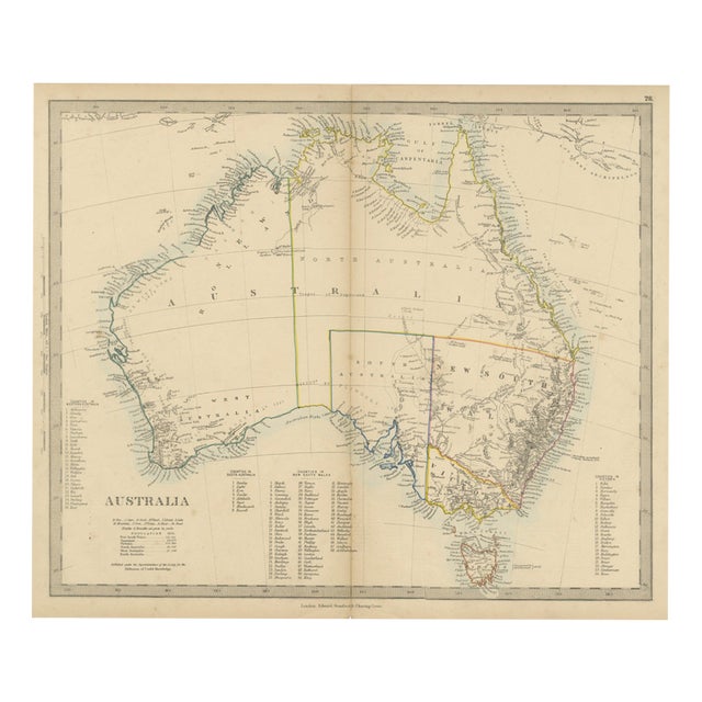
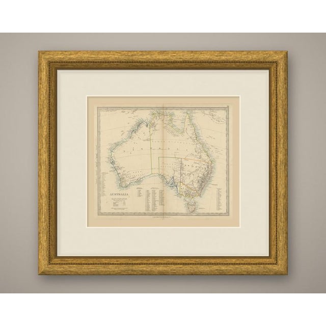
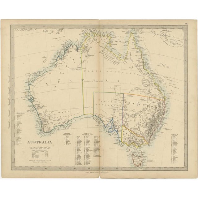
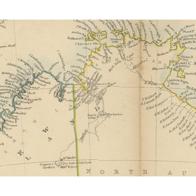
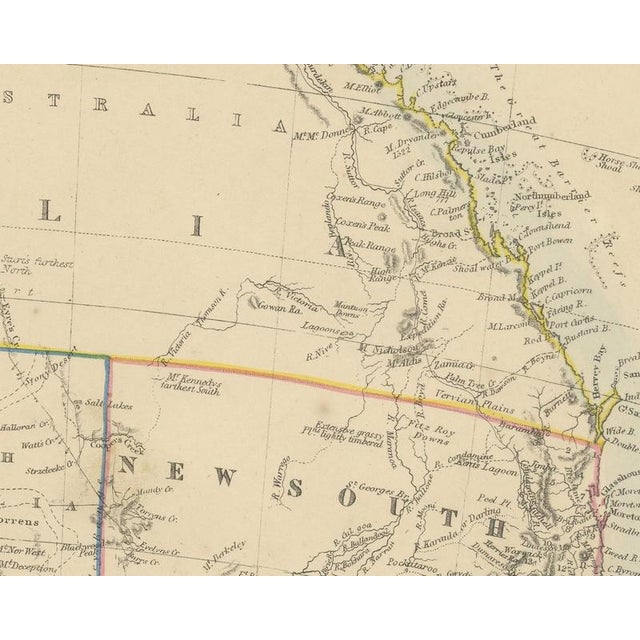
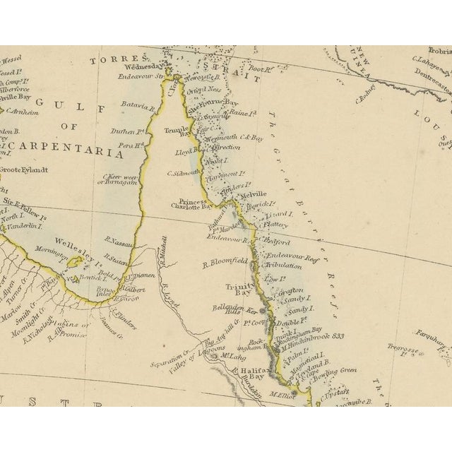
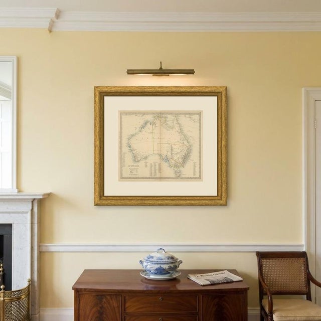
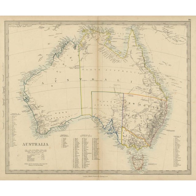
Original antique map of australia, a steel engraving colored by hand, with the lettered title "australia". The map shows the … Read more Original antique map of australia, a steel engraving colored by hand, with the lettered title "australia". The map shows the whole continent with tasmania, torres strait and the southern coast of new guinea, and the colonies of west australia, south australia, new south wales and victoria within their boundaries, with the northern part lettered north australia. The color is in outline, with each colony in its own color, tasmania outlined in orange, and a pale blue wash along the coasts. Under the title is a key of abbreviations, the note "heights & breadths are given in yards." and a table headed "population 1855." giving new south wales 251,315, tasmania 64,874, victoria 273,792, south australia 95,000 and west australia 12,008, with no figure for north australia. Below it is "published under the superintendence of the society for the diffusion of useful knowledge." four numbered lists name the counties: "counties in western australia" (26), "counties in south australia" (8), "counties in new south wales" (68) and "counties in victoria" (24). Tasmania is noted as "discovered by abel tasman 1642". A scale reads "english miles, 69.1 = one degree". Below the border is the imprint "london. Edward stanford 6 charing cross.", and the plate number "28." is above the upper right corner. The harrow atlas of modern geography was published in london by edward stanford in 1858 and sold at harrow by crossley and clarke, booksellers to harrow school. Its maps were selected from those of the society for the diffusion of useful knowledge, founded in london in 1826, which issued its maps in parts from 1829 and was wound up in 1848; stanford later issued them under his own imprint, as this sheet shows. On this sheet new south wales still runs north along the east coast past moreton bay and brisbane, and the routes and furthest points of inland explorers are marked, among them sturt's farthest north. Condition: light handling wear to the bottom left corner; a small irregularity of a few millimeters to the bottom edge. Light, uneven toning, slightly darker towards the edges. A few small foxing spots in the margin. A center fold, as issued. This is an original antique map, not a modern reproduction. This item is sold unframed. Any framed or interior images are shown for presentation and inspiration only, unless the listing explicitly states that the item is sold framed. See less
- Dimensions
- 17.32ʺW × 13.78ʺH
- Period
- 19th Century
- Country of Origin
- United Kingdom
- Item Type
- Vintage, Antique or Pre-owned
- Materials
- Paper
- Condition
- Good Condition, Unknown, Some Imperfections
- Color
- Blue
- Condition Notes
- Very Good — This vintage item has no defects, but it may show slight traces of use\. Small irregularity of … moreVery Good — This vintage item has no defects, but it may show slight traces of use\. Small irregularity of a few millimeters to the bottom edge, Slightly darker towards the edges, A few small foxing spots in the margin less
Returns & Cancellations
Return Policy - All sales are final 48 hours after delivery, unless otherwise specified in the description of the product.
Cancellation Policy - Prior to shipping or local pickup, buyers may cancel an order for up to 48 hours, unless otherwise specified.